GRAND CANYON BASECAMP ADVENTURES

For those looking for Adventures after the hike we have some great recommendations:
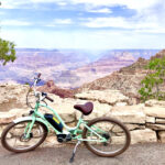
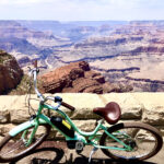
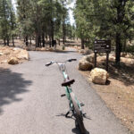
Bike the South Rim – There are 40 plus miles of bike trails and greenways at the South Rim of the Grand Canyon.
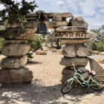
During the summer months when the inner canyon is super hot, rent or bring a bike and take the road out to Hermits Rest as you will catch great view points all along the roads and trails. You can also bike from greenways to include part of the Rim trail out to the South Kaibab Trail.
All of the bike trails are well marked and have signs to where you can ride!

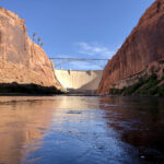
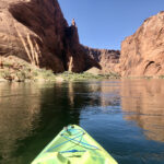
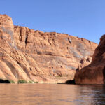
Kayak the Colorado – Head over to Lees Ferry and Kayak the Colorado.
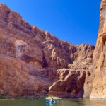
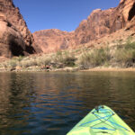
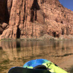
Rent or bring a kayak and take the backhaul service to Glen Canyon Dam where you can be dropped off for a 15 mile kayaking adventure. Don’t have the full day? Take the backhaul service to Petroglyph Beach at the start of Horseshoe Bend for a 10 mile adventure! You can also camp on a first-come first-served basis at 5 locations on the Colorado River (primitive camping between Glen Canyon Dam and Lees Ferry – There are no fees or permits required to camp upriver but entrance fees and vessel use fees apply.).
Insider Tip: You can take Trans-Canyon Shuttle over to Marble Canyon for a fee in case you don’t have ground transportation.
ZION BASECAMP ADVENTURES

If you are staying in the Region of the Desert Southwest another great option is to visit Zion National Park. We created the Rim to Rim Hike of Zion but due to the Rockslide, the trail is closed indefinitely but scroll down after the Rim to Rim Zion content for other great adventures in and around Zion!
2019 – PLEASE NOTE THAT DUE TO A ROCKFALL IN ZION IN THE TRAIL UP TO OBSERVATION POINT IS CURRENTLY CLOSED INDEFINITELY SO PLEASE CHECK NPS TRAIL UPDATES FOR WHEN THIS TRAIL WILL REOPEN – PLEASE CLICK HERE FOR UPDATES AS THIS TRAIL IS PART OF THE RIM TO RIM ZION HIKE.
Rim to Rim® – Zion
Rim to Rim Club® Founder Michelle Delloso has spent many years on the trails in Zion National Park and witnessed a growing concern in the visitation and overcrowding of the Zion Canyon Scenic Drive trails so she wanted to create a hike that would afford the “soul seekers” an opportunity to rise higher to find some “soul time”. The trails are already established trails within ZNP and she felt this hike would afford the “responsible endurance hiker” the opportunity to see and experience Zion from a different perspective while offering a bucket list hike.
Just like the Rim to Rim hike of the Grand Canyon, the trails are well marked and there are beautiful “waypoints” to stop and re-calibrate the soul while spending time appreciating the beauty of the trails and Zion National Park.
The Rim to Rim Club® ALWAYS promotes hiking the canyons responsibly, respectfully and successfully while honoring our mission to provide a forum and club to celebrate one’s accomplishment while inspiring others to get outdoors and on a trail.
You will be on the honor system for hiking it (just like Grand Canyon Rim to Rim hike) to earn your way into the Rim to Rim Club® and a forum via the comment section below.
- We think having 2 bucket list hikes (North Rim – South Rim = Grand Canyon Rim to Rim) and (West Rim – East Rim = Rim to Rim® – Zion) will provide necessary soul time and provide hikers a GOAL to work towards as we promote people getting outdoors and active. THE TRAIL HEALS!
Click on HD on your You Tube settings to watch in HD
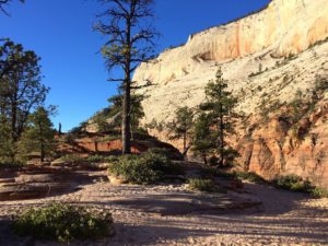
WHAT YOU DO NEED:
- Please refer to our hike-it page of this website for the same pack list and training list for a Rim to Rim of the Grand Canyon hike as we now recommend for a Rim to Rim® – Zion hike.
- Because you are in the backcountry most of day one we highly recommend carrying a satellite phone and at least 3 liters of water (4 liters are recommended) on day one and we recommend a portable water filter to treat water if you were to need additional water.
PLEASE NOTE THAT DUE TO A ROCKFALL IN ZION THE TRAIL UP TO OBSERVATION POINT IS CURRENTLY CLOSED INDEFINITELY SO PLEASE CHECK NPS TRAIL UPDATES FOR WHEN THIS TRAIL WILL REOPEN – PLEASE CLICK HERE FOR UPDATES AS THIS TRAIL IS PART OF THE RIM TO RIM ZION HIKE.
NOTE: Day one of the hike (West Rim trail – elevation 7,500 feet) in Zion is mostly a descent but not as much of a descent as the North Kaibab trail in the Grand Canyon, however, it is longer so be prepared. There are small climbs on day one of the hike but nothing that a “responsible endurance hiker” would have issues with. Day two of the hike (East Rim/Observation Point/East Mesa) will have immediate switchbacks but if you train well these should not be a problem as they are in the shade if you hike day two in the morning and you will have a reprieve as you enter into Echo Canyon and then you climb again = you will have approximately 2,100 feet of total elevation gain (total climbing). Day two is much shorter so you will plenty of time to TAKE YOUR TIME!
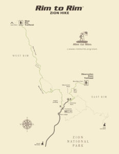
This is the hike map of an official Rim to Rim® – Zion hike (click to zoom):
* SOLID GREEN LINE DENOTES HIKE
Please stay posted to the NPS-ZION page for updates on trail conditions!
Rim to Rim® – Zion Hike
Total Estimated Distance – 22.9 miles (23.9 miles w/Observation Point stopover)
Recommended Route (West to East):
Day 1: Acclimate by staying in Southern Utah (Springdale, St. George, ZNP, etc.)
NOTE: There is a campground less than one mile from the West Rim TH – Lava Point Campground (6 primitive sites – first come, first served – FREE – elevation 7,890 feet) but recommended logistics are to stay in the Springdale area and take a private shuttle up to the trailhead.
NOTE: There is a FREE in-town shuttle (seasonal) in Springdale, Utah from most hotels to visitors center and there is a FREE ZNP Shuttle (seasonal) within the park (Zion Canyon only).
Day 2:
NOTE: You will need to take a private shuttle (if you don’t drop a car off) to the start and finish of the hike. Local Springdale, Utah outfitters do offer private shuttles to West Rim/Lava Point and pick-up at East Mesa/Observation Point TH for a fee).
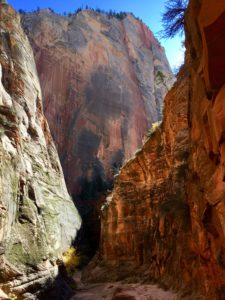
Start of Rim to Rim® – Zion HIKE!
Start at West Rim Trailhead (elevation @ start – 7,514 feet – elevation descent of 3,100 feet) – This is a 16.5 mile hike (again mostly descending) to the Grotto Trailhead.
This trail is gorgeous! You will see amazing views and make a note to stay on the West Rim trail the entire way (one trail marker gives you an option of Telephone Canyon Route or Canyon Rim Route – take Canyon Rim Route as that is West Rim trail and the views are AMAZING!).
You will not see many people for most of this hike until you have approximately 2 miles left (Scout’s Lookout) and then you will pass Angels Landing option (1/2 mile hike out to Angels Landing) and can take it as side trip. Day one will end at the Grotto TH as this is where the West Rim trail also ends. You can take the FREE Zion Canyon shuttle to your hotel/camping spot/visitor’s center/town.
NOTE: The NPS has the West Rim trail to the Grotto marked at 14.5 miles. We have it at 16.5 miles (Our 16.5 miles is accounting for taking the West Rim/Canyon Rim Route at junction which we recommend) so plan on 16.5 miles which means mentally and physically preparing for it = appropriate water, etc.
NOTE: West Rim Trailhead has very limited parking (7 spots) so a private shuttle is highly recommended to tread lightly in this area. West Rim TH is accessed via Kolob Terrace Road. Total driving distance is 36 miles from the town of Springdale, Utah to the West Rim Trail.
- You will travel 19 miles once on Kolob Terrace Road and then follow right turn sign for West Rim/Lava Point Overlook). Also note the road to the West Rim trail (2 miles trip from Lava Point Overlook) is a gravel/dirt road and can be difficult when wet so option then would be to park and shuttle to Lava Point (also dirt road). If the road the the trailhead (West Rim) is closed for whatever reason or you can’t find parking at the trailhead then parking at Lava Point (park and then walk the side trail to campground) is the best option and then walk “Barney’s Trail” one mile (accessed at the Lava Point Campground – next to camping spot #2) to the West Rim TH (Barney’s trail and then take right turn to road and walk on foot to West Rim TH).
NOTE: There is a gate on Kolob Terrace Road that closes the road in the winter (16 miles up the road) so this hike is a seasonal hike.
NOTE: There are 9 camping spots (permit only) on the West Rim trail and a backcountry permit is necessary for overnight camping.
OVERNIGHT: You can stay overnight in the park at Zion Lodge (only in-park lodging) which is a 1/2 mile walk from Grotto TH (stop #6) or take the FREE* Zion shuttle one stop to the Lodge (stop #5) or take the FREE Zion shuttle into the town of Springdale (*all shuttles have changed due to Covid19*) and stay at one of the many hotels in the town and/or spend a night under the stars at Watchman or South Campground in the park. The town of Springdale, Utah is at the base of the main entrance to Zion National Park and offers restaurants and outfitters, etc.
For Zion NPS Backcountry Permits for overnight camping click here. Please note that a wilderness permit is required for any multi-day hike in which you choose to camp overnight in the canyon. If you do this hike in one day (thru hike) and/or are staying elsewhere (in town, etc.) and taking it on two separate days you DO NOT need a permit.
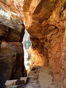
Day 3:
Finish of Rim to Rim® – Zion HIKE!
Start out at the Weeping Rock Trailhead (East Rim/Observation Point Trail – Elevation @ start = 4,400 feet – elevation again 2,100 feet = you will be at 6,500 feet at finish of hike) – This is a 6.4 mile hike (7.4 miles if you go to Observation Point)
PLEASE NOTE THAT DUE TO A ROCKFALL IN ZION THE TRAIL UP TO OBSERVATION POINT IS CURRENTLY CLOSED INDEFINITELY SO PLEASE CHECK NPS TRAIL UPDATES FOR WHEN THIS TRAIL WILL REOPEN – PLEASE CLICK HERE FOR UPDATES AS THIS TRAIL IS PART OF THE RIM TO RIM ZION HIKE.
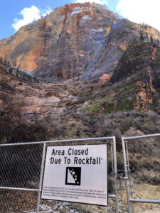
This is stop #7 on the Zion shuttle (trail is currently CLOSED due to rockfall – please see photo).
You can also go back to stop #6 (Grotto) and walk from where you left off as the Weeping Rock Trailhead is about one mile from the Grotto.
You will then take on the East Rim/Observation Point trail through Echo Canyon like you are hiking to Observation Point.
Approximately 2.5 miles up from the Weeping Rock TH (start of this hike) you will see a trail sign that says Observation Point. Follow the Observation Point sign (straight), DO NOT take East Rim/Cable Mountain/Deer trap to the right. The Observation Point hike is the old East Rim hike so again take the Observation Point direction (we recommend going to Observation Point to have lunch up there). The hike up to Observation Point is 4 miles. At approximately 3.5 miles (on your way to Observation Point) you will see a trail marker “Park Boundary”, this is where you take the “East Mesa Trail” as this is the East Mesa Trail for 3 miles and end up at the Observation Point Trailhead and the end of the hike. This will complete the Rim to Rim® – Zion hike!
You will need a private shuttle to pick you up at Observation Point TH – East Rim side or someone to pick you up. There is parking (more parking than West Rim but again very limited) but best bet is to have a shuttle pick you up or have someone pick you up. You can leave one car at one end and one car at the other and/or have rides at each rim (similar to Grand Canyon, Rim to Rim hike etc.) if you are heading out with people you trust.
NOTE: At the Observation Point TH (recommended route – finish of the hike), you are approximately 23 miles from the town of Springdale, Utah. There is overnight lodging at surrounding resorts and campgrounds To reach this area as you head from Springdale into ZNP to pick-up someone doing the hike and/or if you drop off a car = @ approximately 2 miles East of the East Entrance take a left at North Fork Road (drive for 5 miles and follow signs for Zion Ponderosa Ranch) and then take a left on Twin Knolls Road and follow signs to the Observation Point TH (you will enter through little ponderosa ranch which has privately owned cabins and lots and is a dirt road access so be aware of this if you are driving your own vehicle). Reverse the route to head back.
NOTE: The road to the trailhead -Twin Knolls Road to Observation Point TH – is a dirt road and that strip closes in the winter making this hike a SEASONAL hike.
NOTE: At-large dispersed camping is allowed in certain areas of the east rim with a wilderness permit.
NOTE: There is VERY limited water options on West Rim and East Rim routes (you will need to treat water) so fill-ups at each TH and/or prior are necessary and at least 3-4 liters carried from each TH outbound on day hikes will be necessary.
Day 4: Rest and celebrate by enjoying the East side of Zion and surrounding areas. You can base camp in Kanab, Utah and try and get lucky via a permit for the Wave (again permit only), Buckskin Gulch, White Pocket, Bryce, etc. and/or head to the North Rim of the Grand Canyon and go do another Rim to Rim hike as in Rim to Rim of the Grand Canyon! You are approximately 2 hours from the North Rim from the Rim to Rim® – Zion hike finish.
This is the official Rim to Rim® – Zion hike! Once you complete this hike you are in the Rim to Rim Club® – Zion.
Happy Hiking!
Michelle Delloso – Rim to Rim® – Zion Hike/Rim to Rim Club® Founder
To reach Michelle please email: info@soulseekerstravel.com
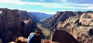
NOTE: We are a club to celebrate Rim to Rim hiking accomplishments while providing online information and inspiration for the hikes. We are not on-site guides nor do we host events in the national parks.

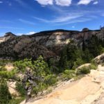
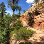
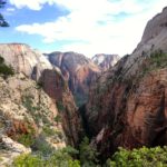
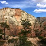
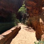
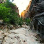
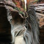

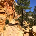
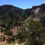
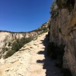
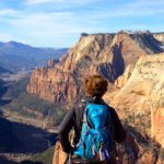
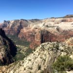

Zion Basecamp Adventures
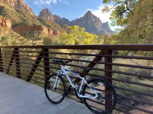
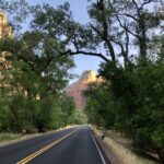
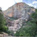
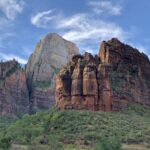
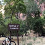
You are able to take your own Bike Tour of Zion National Park via the Zion Canyon Scenic Route and stop off at many of the wonderful view points and trailheads and may even want to lock your bike at a trail head and take on a hike as well. The roundtrip bike ride from the Zion Canyon Visitor’s Center to Temple of Sinawava (you would take the Pa’rus trail to Canyon Junction and then on to the Zion Canyon Scenic Drive) is marked at approximately 16 miles and is a beautiful way to experience the park.
If you want to do a great bike/hike combo, you can ride 4 plus miles up to the Grotto Trailhead (lock your bike) and hike up to Scout Lookout (2 miles one way via the West Rim trail) or lock your bike across Zion Lodge at the Emerald Pools Trailhead and hike up to Lower, Middle and/or Upper Emerald Pools and then head back down and sit by the river and have a nice packed lunch (pack out what you pack in) and then head back on your bike to the visitor’s center for a wonderful day in the park!
For an EPIC ENDURANCE day you can ride the entire scenic road up to Temple of Sinawava on your bike and then stop off at one of the hiking trailheads on your return to hike one of the trails above and then ride back! Definitely pack a lunch, snacks and bring plenty of water/hydration for that adventure!

For the latest updates and rules and regulations for riding your bike in Zion National Park please visit the ZNP Bike Page.
Please note we provide this segment of our page for inspiration & resource assistance in helping you with your Zion Basecamp Adventures so you have an enjoyable experience that we hope awakens your soul and offers an even greater appreciation for these beautiful places we must work collectively to preserve and protect.
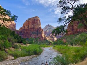
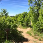
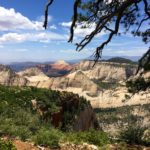
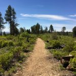
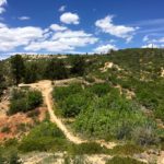
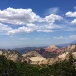
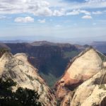
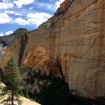
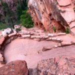
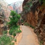
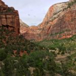
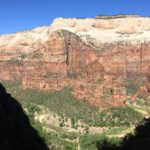
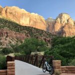
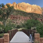
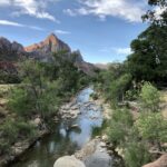
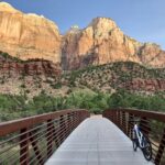
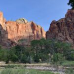
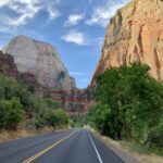
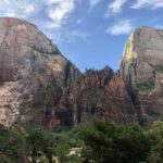
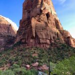
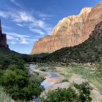
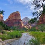
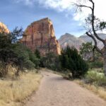
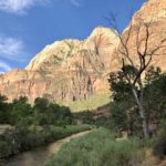
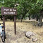
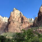
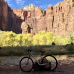
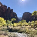
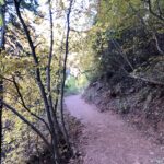
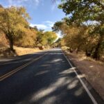
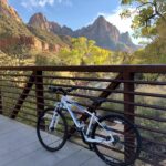
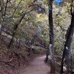
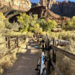
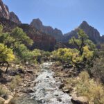
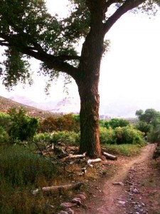
Here are some photos from some of our rides and bike/hike combos (please click to enlarge).
Enjoy the Ride!
NEW MOUNTAIN BIKE TRAILS ON THE EAST SIDE OF ZION ARE NOW OPEN!
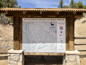
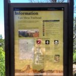
This development of the Applecross Mountain Bike Trails was made possible through the collaborative efforts of landowners, conservationists, the National Park Service, and the Utah Office of Outdoor Recreation. These trails are now open, and at this very moment they are expanding those mountain bike trails and working on new hiking trails in the area.
The trailhead is located about a quarter-mile onto North Fork Country Road, which is the last road before heading into the Zion National Park’s east entrance on state Route 9 or first road exiting, depending on where you’re coming from.
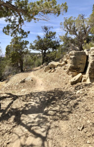
As well, a new Visitor Center is being built (as part of the East Zion Initiative) as I believe the East Side of Zion will truly offer a new adventure for many to explore and find the outdoor recreation experiences they are seeking!
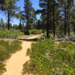
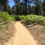
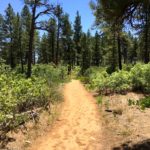
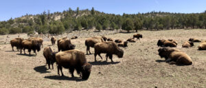
When I took my bike out to these new Applecross Mountain Bike Trails, I was the only one out there riding! I looked down at spots and saw the Bison Roaming! It was awesome!
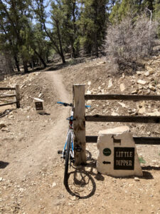
Please note that they are still building out these trails so the mileage will only increase in the months to come. On this day that I rode them, I was able to ride 7 miles total on the Little Dipper (green) trails as I had my hybrid bike with me (Pedal Assist E-bikes are allowed as well on these trails).
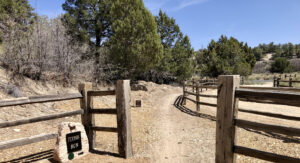
These are great trails to ride away from the crowds in which one can experience the East Side of Zion. There will soon be a new Visitor Center on the East Side and they are building new hiking trails to help disperse the growing number of crowds to certain areas of Zion National Park.
Please remember to Leave No Trace® and Tread Lightly!® while in the outdoors. Thank you to the private landowners that have donated the land to build these new mountain bike trails and the collective efforts of all involved.
Under the DMCA or Digital Millennium Copyright Act, all content published online is protected under copyright law, regardless of it having the copyright symbol on the page. Any content, no matter the form it takes (whether digital, print, or media) is protected under copyright law.
Please note Rim to Rim® map is copyright protected and name & logos are trademark protected




 The purchase of any of our Rim to Rim® branded products through our print on demand affiliate (click shop/gear tab above) helps to support our club and mission.
Latest Comments